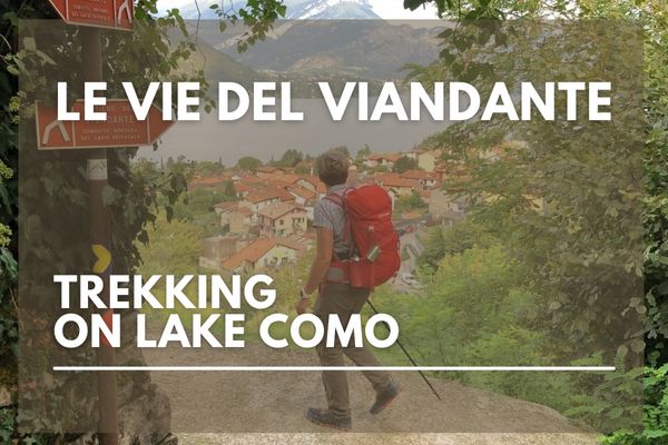
The Forts’ Trail is a nice route developed by the CAI of Colico with the purpose to valorize the Forts of the village , that are situated on ” Montecchi “, two natural hills which are at the intersection of the high Lake Como , Valtellina and Valchiavenna.
The itinerary begins from the railway station of Colico where , once that you cross the underpass , you have to proceed toward the waterfront , until the parking area. Here you find Via alle Torri , following this street you can reach the path that starts with a little bridge that you have to cross : from this point you can admire the Tours dating back to XII century. You continue the route until you reach an asphalted slope : at the end of this street there is the Montecchio North Fort , an important First World War bulwark. For information about guided tours go to the website www.fortemontecchionord.it
Then the path continues going through Monteggiolo and Erbiola and crossing a bridge over the Borgofrancone Canal , until you reach the crossroads that leads to the Fuentes Fort , a spanish building which dates back to 1600. For information about visits go to the website www.fortedifuentes.it
To go back we propose two itineraries :
- You follow the asphalted street until Via Monteggiolo , that you have to walk down entirely. You get close to the railway station and here you have to overcome Viale Padania underpass and to reach the station. Traveling time by foot : about 2 hours , excluding the forts visit.
- Return to Colico going through Sentiero Valtellina and Piano beach ; you have to take the back door of Fuentes Fort : the path goes down and joins itself with Sentiero Valtellina , a route that reach Colico beach ( far about 4 km ). Traveling time by foot : about 3 hours , excluding the forts visit.
The Forts’ Trails is suitable for everybody and it is also praticable with bike. There aren’t particular gradients.
For more information go to CAI Colico website : www.caicolico.it


